FREE SHIPPING Over $30 -> Up to 50% Off!
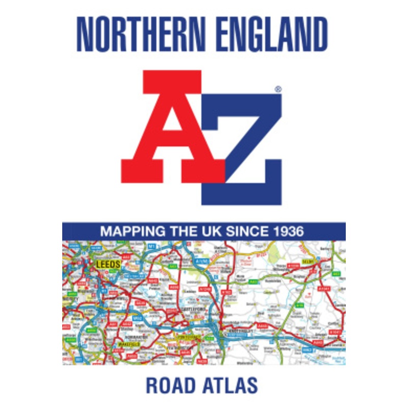
Find your way around Northern England with this fully revised and updated road atlas.A full colour regional road atlas featuring 52 pages of road mapping.Covers an area extending to:Berwick-upon-TweedNewcastle upon TyneMiddlesbroughKingston upon HullGrimsb
Find your way around Northern England with this fully revised and updated road atlas.
A full colour regional road atlas featuring 52 pages of road mapping.
Covers an area extending to:
The road mapping is shown at a clear 3.5 miles to 1 inch scale (2.2 km to 1 cm) and includes the following features:
Also, within this Northern England Road Atlas are 24 city, town, airport or port plans for:
The index section lists cities, towns, villages, hamlets and locations covered by this atlas.
 sale
sale
![Special Sounds [Arabic]](https://www.epictalesstore.com/wp-content/uploads/2025/10/1760930141/special-sounds-arabic-1760930145.webp) sale
sale
 sale
sale
 sale
sale
Copyright © 2025 .All Rights Reserved.Powered by www.epictalesstore.com
Reviews
There are no reviews yet.